

|
|
|
Aero UAV
Autonomous Industrial Unmanned Helicopter (ECO)
 |
GENERAL The autonomous industrial unmanned helicopter UAV has been developed for professional airborne ecconomy version such as aerial mapping, airborne broadcasting, search & rescue, surveillance and inspection as well as law enforcement.
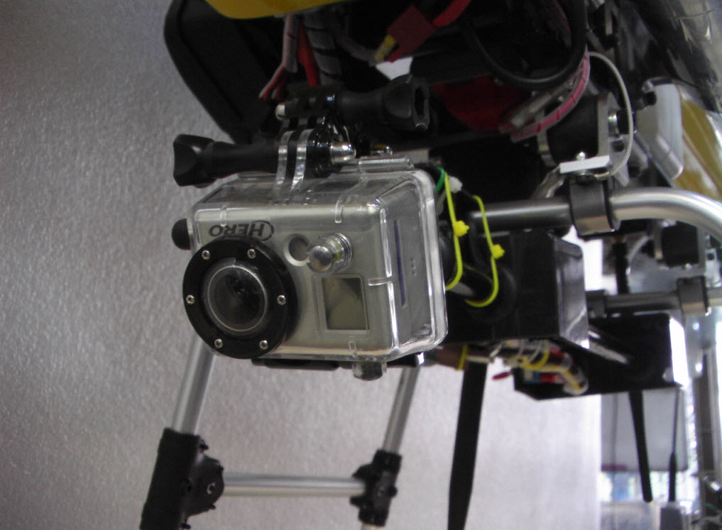
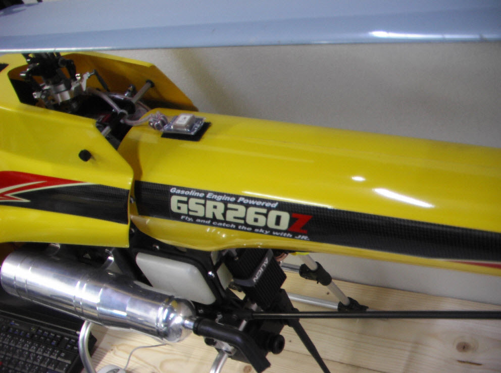
PAYLOAD The helicopter provides a payload capacity of up to 3-5 kg (incl. of fuel (standard), flight control system FCS) with an empty weight of only 3-5 kg.
SAFETY The helicopter has been developed under severe safety policies, high engine power reserve capacities, mechanic robustness (3x load excess), and environmental robust against spray water.
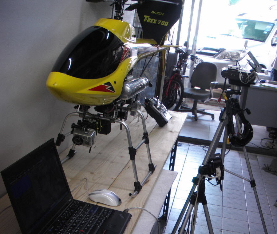
FEATURES The Scout B1-100 provides easy transportability and maintainability through system modularity, flexible payload options, and a smooth and easy-to-start gasoline engine.
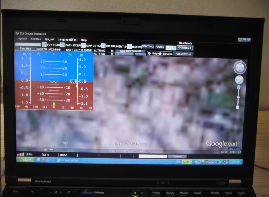
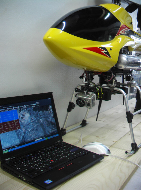
OPERATION The helicopter can either be flown in conventional manual mode with high maneuverability or can be operated with its integrated INS/GPS automated flight control system. This flight control system allows joystick (velocity) coptional mode as programmable well as waypoint (GPS) mode.
DEMONSTRATION System demonstrations are available on request in Bangkok thailand by Servovision Engineer
INFORMATION For further information please contact Info@servovision.com
 |
 |
 |
 |
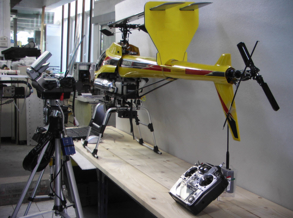
- Length: 1, 570mm
- Overall Width: 386mm
- Overall Height: 670mm
- Gear Ratio: 8: 1: 5.18
- Weight: 6, 400g (approx. )
- Payload: 3000 - 4000g
- Engine: Komatsu Genoa G260PUH with recoil starter
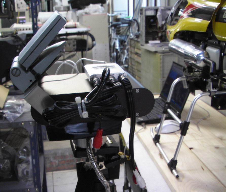
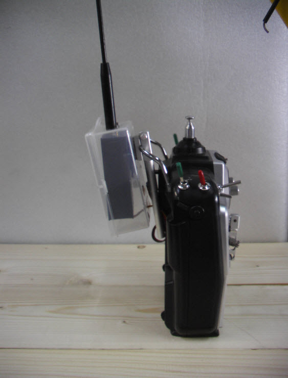
- R/C System: 6-CH, 6-servo, wiyh stabilizer,localized and navigation gps system
- Main Rotor Diameter: 1,970mm
- Tail Rotor Diameter: 289mm
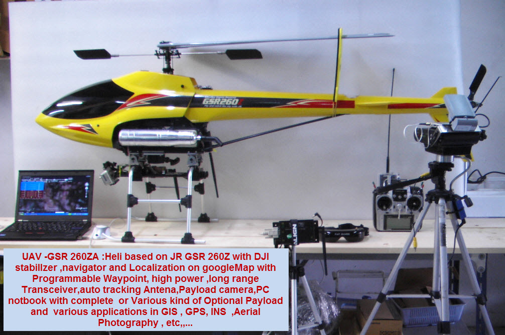
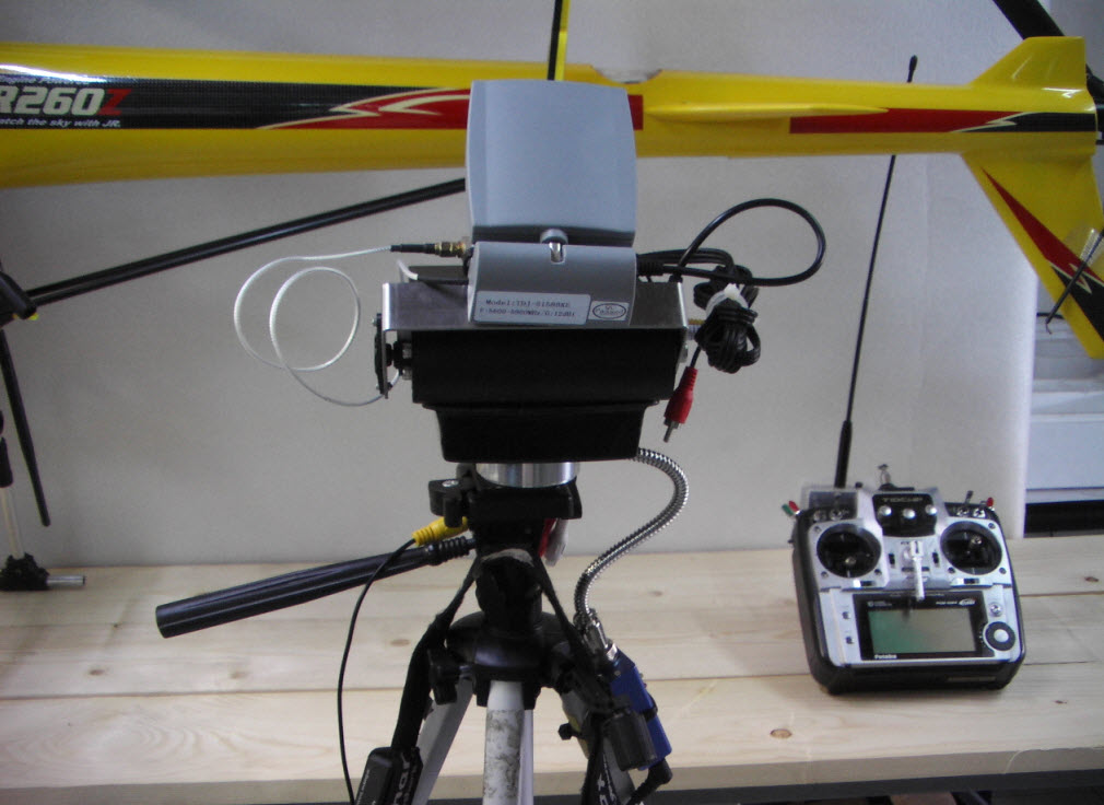
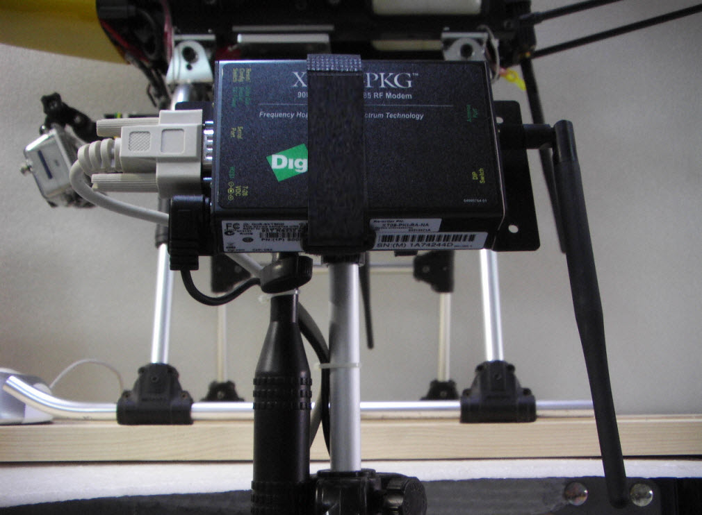
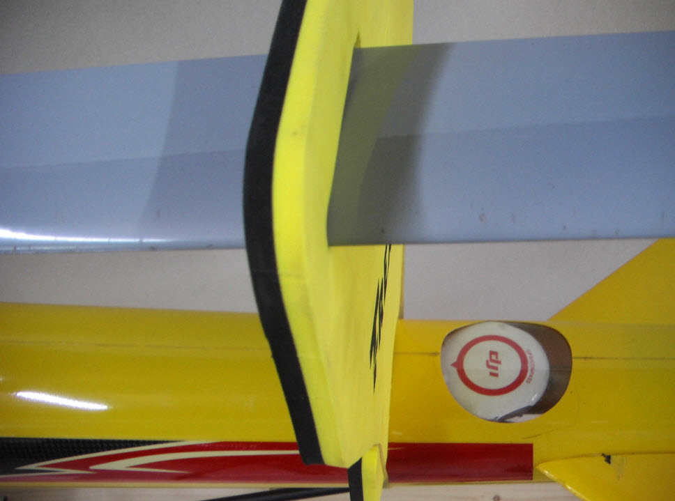
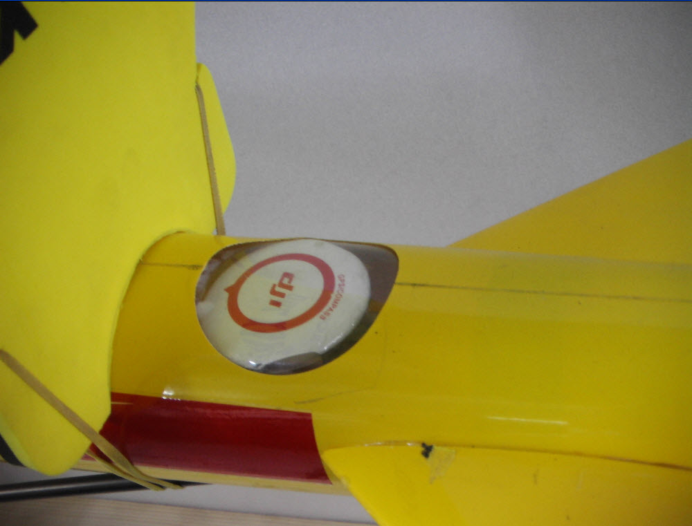
-DJI : Programmable Way point ,3D-stablilizer , navigator ,localization , on GPS googleMAP, with high perfromance &long range transmission and telemetry .
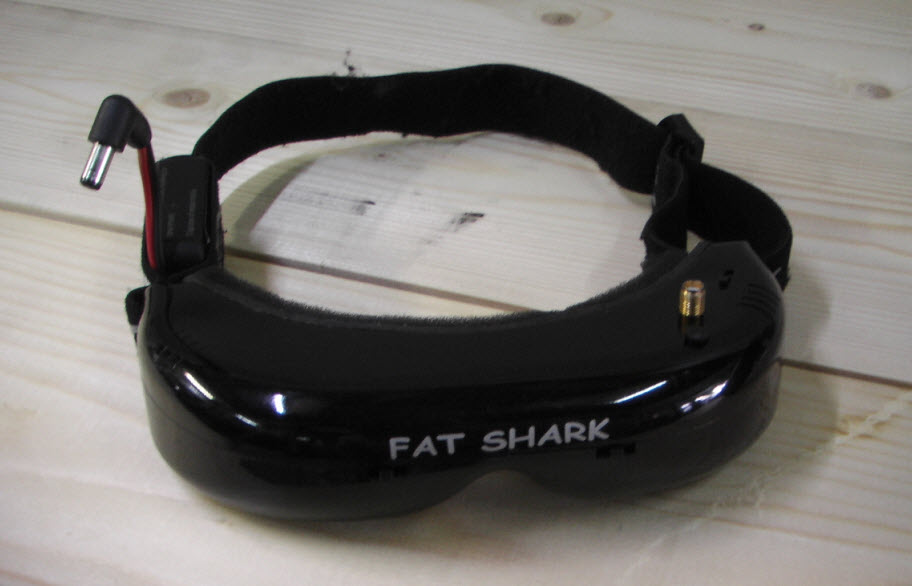
- With OSD (On sereen display) remotecotrol FPV (first person view) : optional
- HDTV wireless camera (with or without pan & Tilt mechanism ) :,(optional),high resolution Video HDTV 1280 x 1024 Photography Via 2.4 - 5.8 Ghz Brooad Wide re blind -area ,
Compensable Technology And/or intelligent - Olfaction -Detection or Public wireless 3G (4G) networks
- Multiple user input GPS coordinates (Flight path) with Automatrically GPS tagged digital Photo.
- Predetermined interval GPS Flightpath with Digital photo : Optional Application for GIS (geographic information system) ,spatial Data IT & MIS.
 |
 |
 |
 |
 |
 |
 |
 |
 |
 |